Destination guide
Lanzarote travel guide
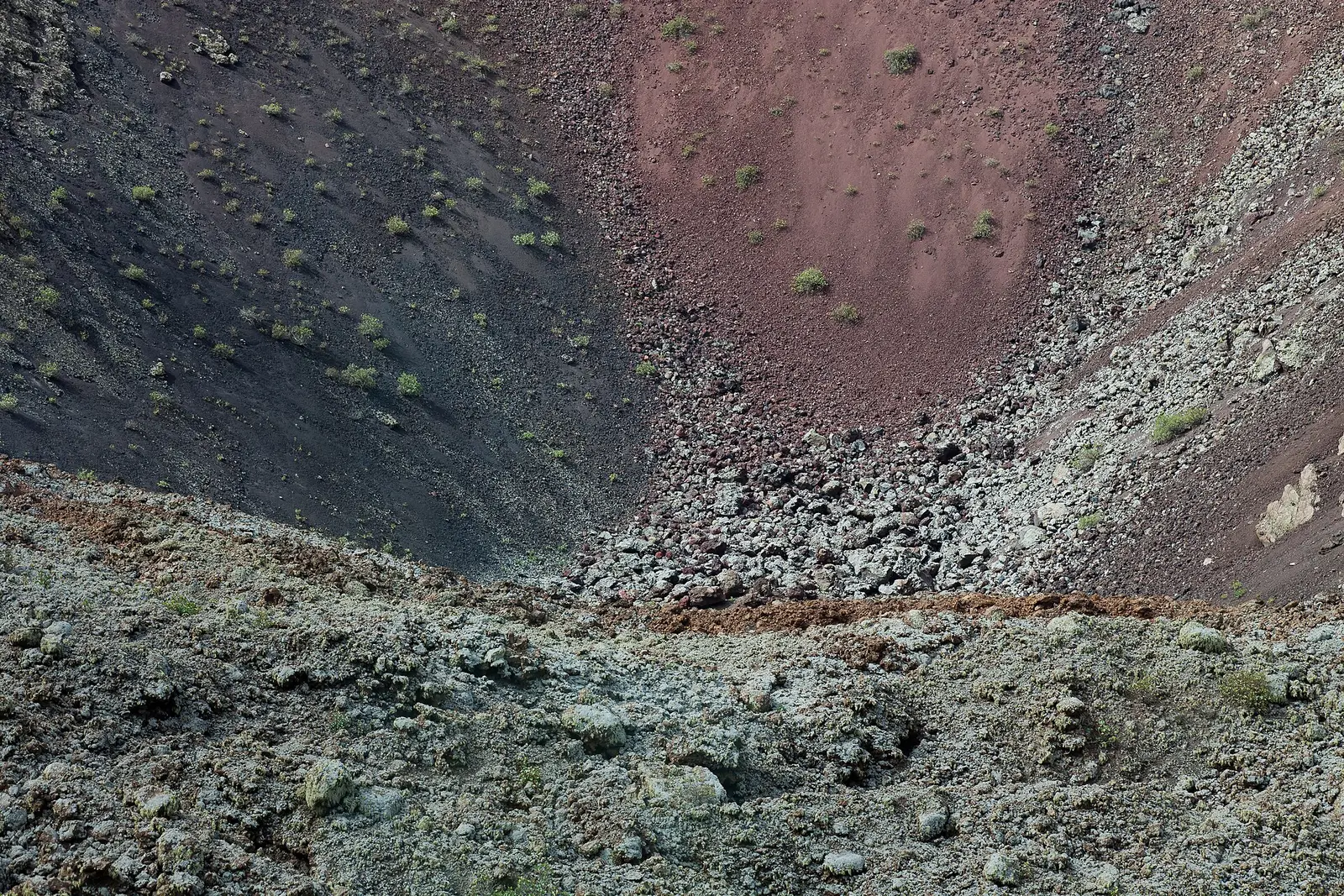
Lanzarote is an island in the Canary Islands, Spain, where a trip can centre on volcanic landscapes, lava caves, art and beaches rather than beach time alone. Timanfaya National Park, Jameos del Agua and Cueva de los Verdes give the landscape a prominent role, while César Manrique’s work adds a cultural thread. It suits travellers who want to mix sightseeing with time on the coast, with Puerto del Carmen, Playa Blanca and Costa Teguise among the resorts to consider as a base.
- Warmest month
- August, 24.7°C
- Months above 20°C
- 7 of 12
- Rain a year
- 88 mm
- Best months
- July, August, September
Volcanic landscapes and caves
Timanfaya National Park occupies part of southwestern Lanzarote, covering areas of Tinajo and Yaiza. Its 51.07 square kilometres provide a geographical anchor for planning this part of a trip. In the north, the volcanic theme continues underground: Cueva de los Verdes is a lava tube in the municipality of Haría, within the protected Monumento Natural del Malpaís de La Corona. Jameos del Agua, also in Haría, brings a different emphasis to lava caves through its role as an art, culture and tourism centre. These are distinct visits rather than interchangeable volcanic stops, so an itinerary can give space to both the landscape and its cultural interpretation.
Art, gardens and a northern viewpoint
César Manrique created Jameos del Agua as an art, culture and tourism centre within a series of lava caves. Alongside Fundación César Manrique, it gives an art-focused trip a clear starting point without separating culture from the island’s physical setting. At Jardín de Cactus in Guatiza, the setting has another history: the cactus garden occupies a former quarry where volcanic lapilli was extracted for use on cultivated land to retain moisture. Mirador del Río shifts the focus to elevation, standing on the approximately 475-metre-high Batería del Río escarpment in northern Lanzarote. Together, these places offer contrasting ways to approach the island: caves adapted for cultural use, a repurposed quarry and a viewpoint.
Coastal stops and choosing a base
Coastal days can take different forms, from Famara beach and cliffs to the Papagayo beaches, or a visit to El Golfo and the green lagoon. La Graciosa is another option, linked by ferry from the north of Lanzarote; it needs to be planned around that crossing rather than treated as another road stop. For time away from the coast, Teguise old town and La Geria belong among the places to consider. Choosing between Puerto del Carmen, Playa Blanca and Costa Teguise as a resort base is best tied to the visits that matter most to the trip. Arrecife, Haría, Yaiza, Tinajo and San Bartolomé are also connected by the island’s roads.
What to see
Things to do in Lanzarote
12 places that justify the drive, from the volcano fields to the caves and the beaches. Each one says what it is and what a visit is actually like.
Landscape
Timanfaya National Park
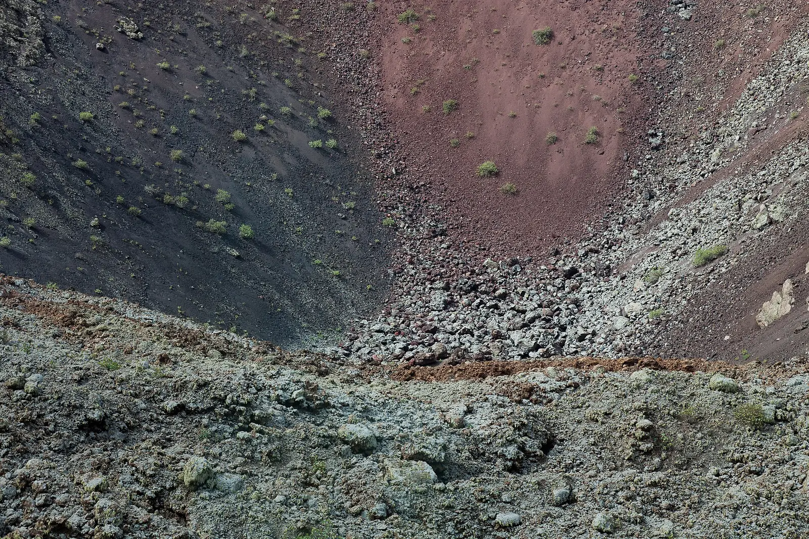
Timanfaya National Park is a landscape formed entirely from volcanic soil.
Volcanic history is the main reason to visit Timanfaya National Park, in south-western Lanzarote. Most of its terrain was transformed during the eruptions of 1730 to 1736, with the last eruptions occurring in 1824. Covering parts of Tinajo and Yaiza, it is Spain's only entirely geological national park. That distinction makes the land itself the attraction, rather than a backdrop to buildings or gardens. César Manrique's El Diablo statue is the park's symbol, linking this volcanic landscape with the artist whose work appears elsewhere across the island.
Manrique site
Jameos del Agua
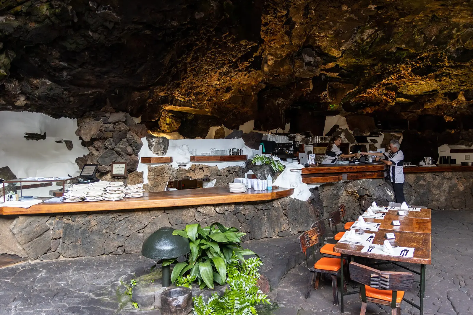
Jameos del Agua combines lava caves with César Manrique's art and architecture.
Inside the lava caves of northern Lanzarote, César Manrique created a cultural centre around the island's volcanic geology. Jameos del Agua brings together a subterranean salt lake, gardens, an emerald-green pool, a restaurant, a museum and an auditorium. The distinction between the underground lake and the designed pool is useful to keep in mind: this is both a natural formation and a constructed visitor attraction. Located in Haría, it suits a northern itinerary alongside Cueva de los Verdes, with the emphasis here on how architecture and planting interact with the caves.
Landscape
Cueva de los Verdes
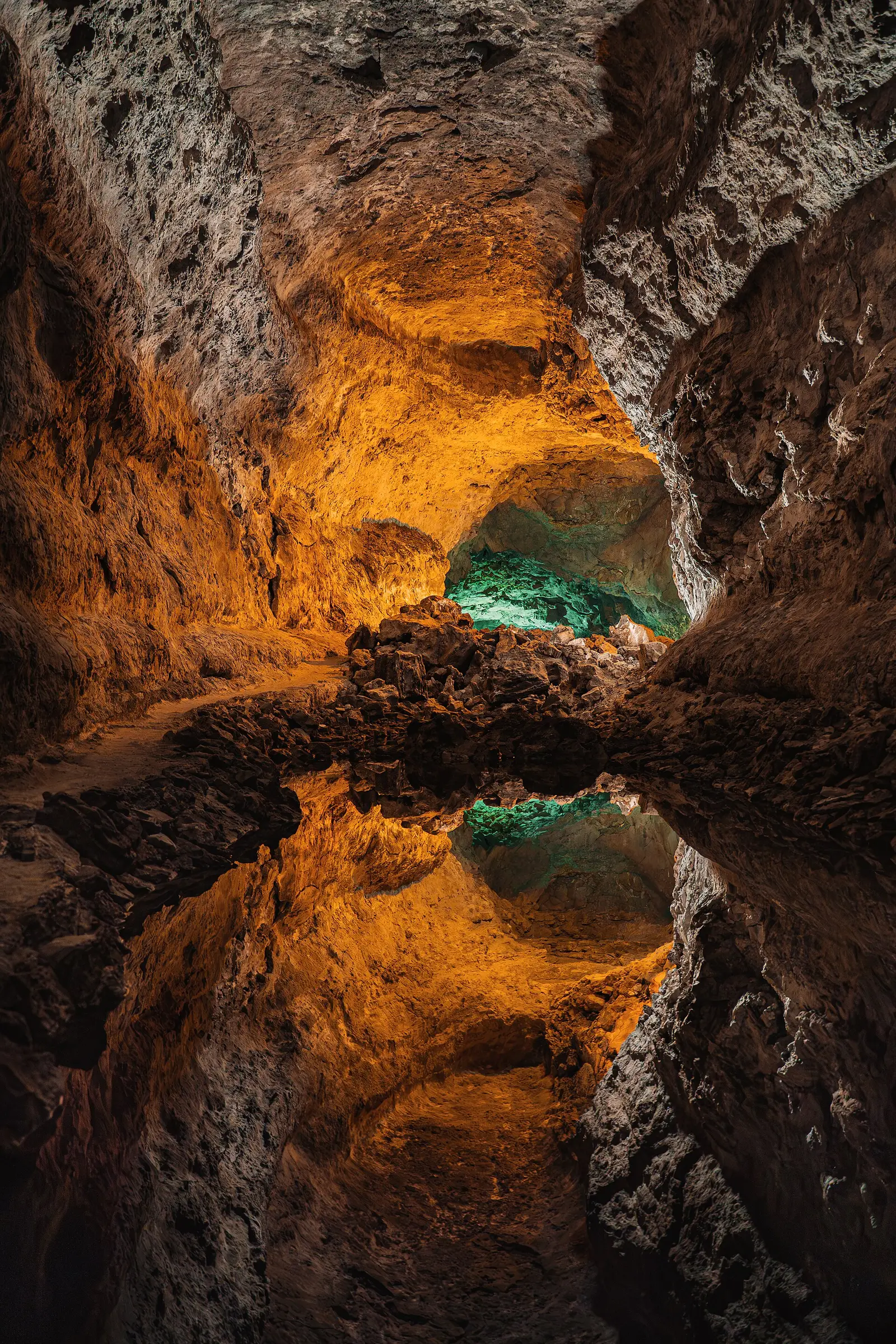
Cueva de los Verdes takes Lanzarote's volcanic story beneath the surface.
Beneath Lanzarote's surface, Cueva de los Verdes is a lava tube in the municipality of Haría. It lies within the protected Monumento Natural del Malpaís de La Corona, placing the cave within a wider volcanic landscape rather than treating it as an isolated curiosity. For an itinerary, it offers a useful contrast with Timanfaya National Park: the geological interest shifts from terrain above ground to a formation underground. It also pairs naturally with Jameos del Agua in northern Lanzarote, although anyone concerned about underground access should check current visiting arrangements before committing.
Manrique site
Mirador del Río
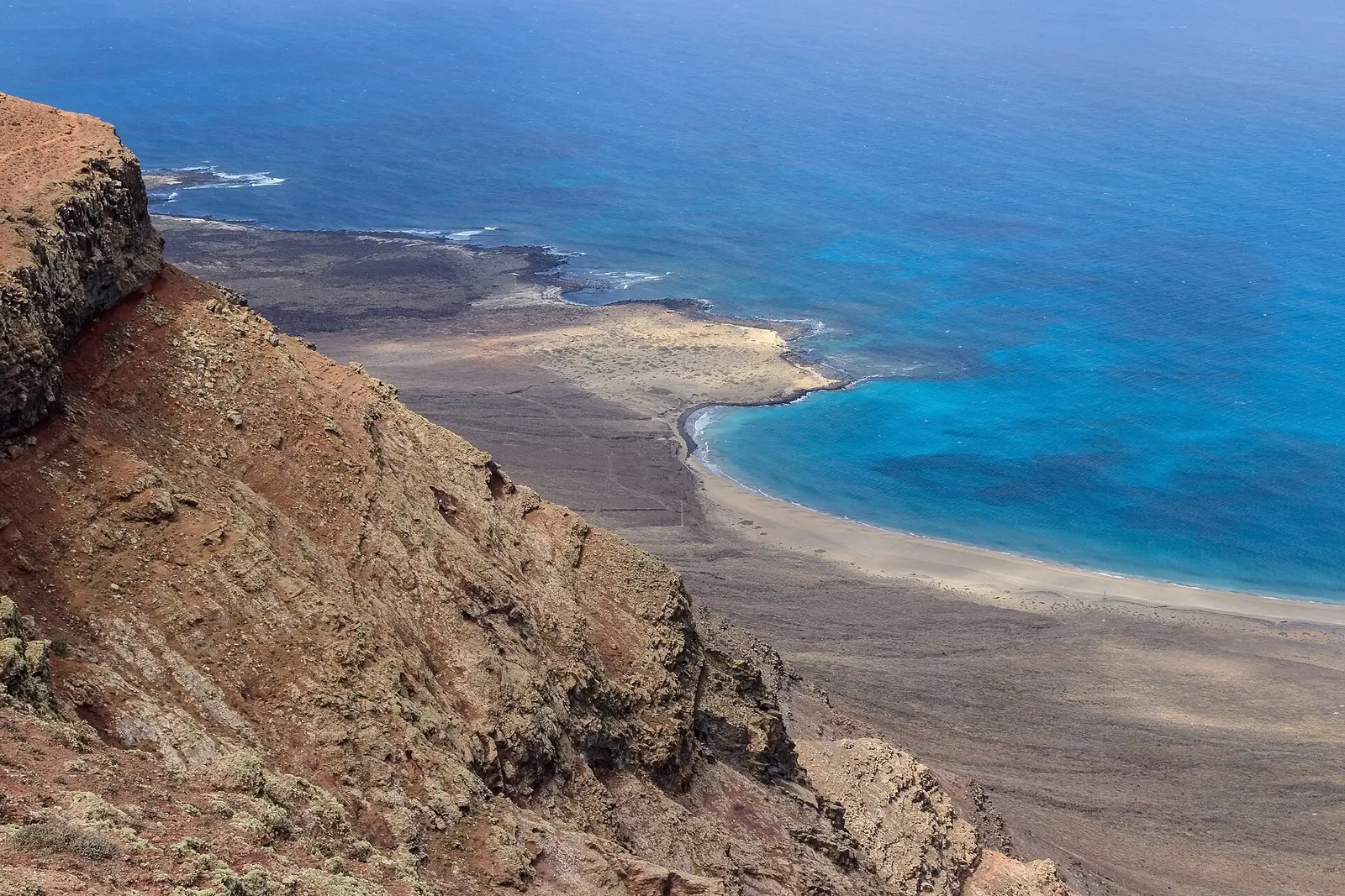
Mirador del Río is a northern viewpoint on the Batería del Río escarpment.
Height defines the appeal of Mirador del Río, a viewpoint on the approximately 475-metre-high Batería del Río escarpment in northern Lanzarote. This is a stop for understanding the island from above, contrasting with the subterranean settings of Jameos del Agua and Cueva de los Verdes. Visibility matters more here than at an indoor attraction, so the day's conditions should influence its place in an itinerary. Travellers uncomfortable with heights may also want to consider the escarpment setting when deciding how much time to allow for a visit.
Manrique site
Jardín de Cactus
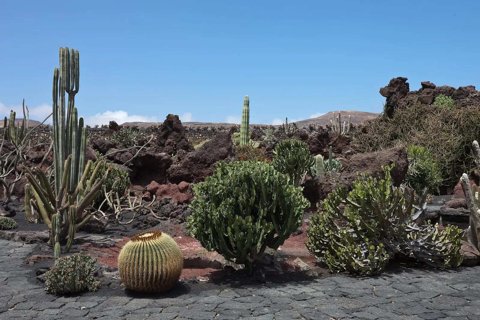
Jardín de Cactus occupies a former volcanic-sand quarry in Guatiza.
Guatiza's cactus garden has an agricultural story beneath its planting. Jardín de Cactus occupies a former quarry where volcanic sand, known as lapilli, was extracted for spreading over cultivated ground to retain moisture. Prickly pears grown in the surrounding area support cochineal production; the insect provides the natural dye carmine. Those connections make this more than a stop to look at unusual plants. The setting links gardening, farming and the practical use of volcanic material, offering a different perspective from the lava caves and geological terrain elsewhere on Lanzarote.
Landscape
La Geria
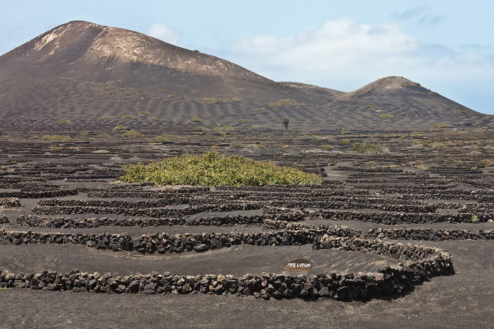
La Geria is a stop to consider within a wider Lanzarote itinerary.
Planning a visit to La Geria calls for a clear idea of what to do there before setting out. Confirm the particular stop, its access arrangements and any booking requirements rather than treating an area name as a complete plan. Lanzarote is the easternmost of the Canary Islands, and a useful island itinerary can combine different themes rather than repeat similar stops. Timanfaya National Park provides the geological focus, while Jardín de Cactus connects volcanic material with cultivation. La Geria's place in that schedule should follow the visit actually arranged.
Landscape
El Golfo and the green lagoon
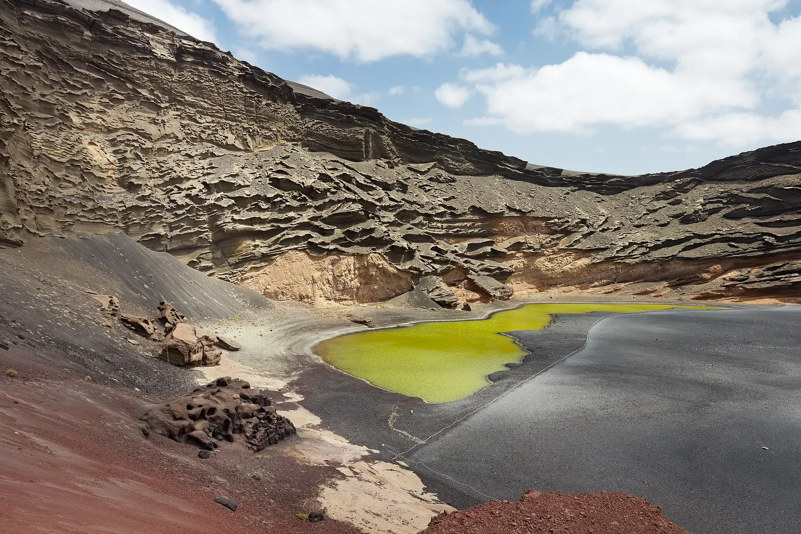
El Golfo's green lagoon brings a coastal setting to Lanzarote's volcanic landscape.
Beside the settlement of El Golfo in Yaiza, the green lagoon is known as El Charco Verde or Charco de los Clicos. It is a coastal lagoon included in the parque natural de los Volcanes, so its setting belongs to the island's protected volcanic landscape. The lagoon, rather than a named beach or organised activity, is the focus of this stop. It offers a coastal counterpoint to Timanfaya National Park and an opportunity to consider how Lanzarote's geological character continues to shape the landscape at the water's edge.
Landscape
La Graciosa
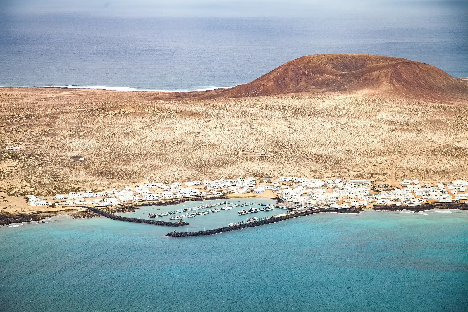
Across the Strait of El Río, La Graciosa is a separate volcanic island.
Separated from Lanzarote by the Strait of El Río, La Graciosa lies two kilometres to the north. It belongs to the Chinijo Archipelago and its natural park, while remaining administratively dependent on Lanzarote through Teguise. In 2018, the Spanish Senate officially recognised it as the eighth Canary Island, though the change had little practical effect. For trip planning, the important distinction is geographical: this is an island outing, not another road stop. Travel arrangements therefore need checking separately, with enough flexibility for the return rather than an overfilled onward schedule.
Old town
Teguise old town
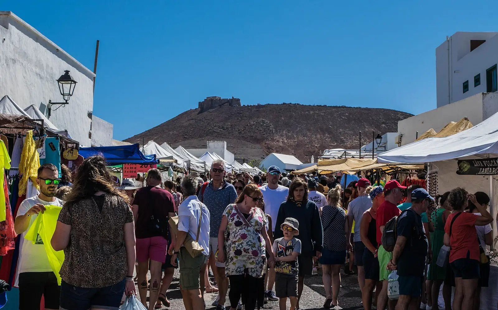
Teguise old town offers a village stop in north-central Lanzarote.
North-central Lanzarote is the setting for Teguise, also called La Villa de Teguise. As a village visit, the old town provides a change of emphasis from volcanic formations, gardens and viewpoints. It can give an itinerary time within a settlement rather than making every stop a designated natural attraction. Keep the plan centred on the town itself unless a particular building or event has been checked in advance. The name also appears in island administration: the municipality of Teguise is responsible for neighbouring La Graciosa, although visiting that island requires separate travel planning.
Manrique site
Fundación César Manrique
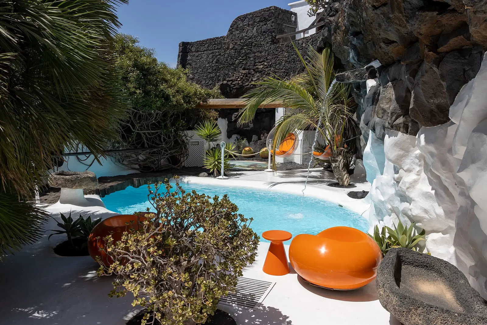
Fundación César Manrique centres attention on the artist who shaped Lanzarote's architectural direction.
Understanding César Manrique's priorities gives a visit to Fundación César Manrique its wider context. The Lanzarote-born artist, architect and nature activist promoted tourism that respected the island's landscape and traditional architectural principles. His architectural projects, developed from the 1960s to the 1990s, were part of that approach, as was his successful campaign for regulation against high-rise hotels. Jameos del Agua provides a concrete example to consider alongside his broader influence. Before visiting the foundation, check its current visitor arrangements; the useful thread for the trip is the relationship between art, construction and landscape.
Beach
Famara beach and cliffs
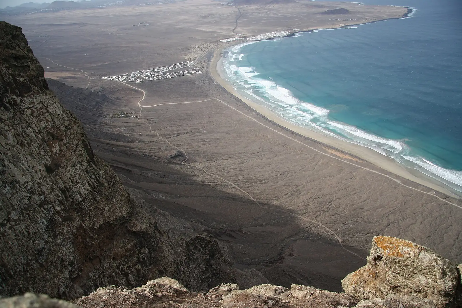
Famara beach and cliffs sit within the story of an ancient volcanic massif.
Geology gives Famara's coastal landscape its scale. Famara is the main mountainous massif in northern Lanzarote, formed from the eastern slope of a volcano that erupted in the Miocene. Its cliffs are remnants of a caldera about ten kilometres in diameter, centred south of La Graciosa. That history makes the cliffs as important to this visit as the beach: the coast is part of a much larger volcanic structure. For a beach outing, assess conditions locally rather than assuming that an appealing stretch of shore is suitable for swimming.
Beach
Papagayo beaches
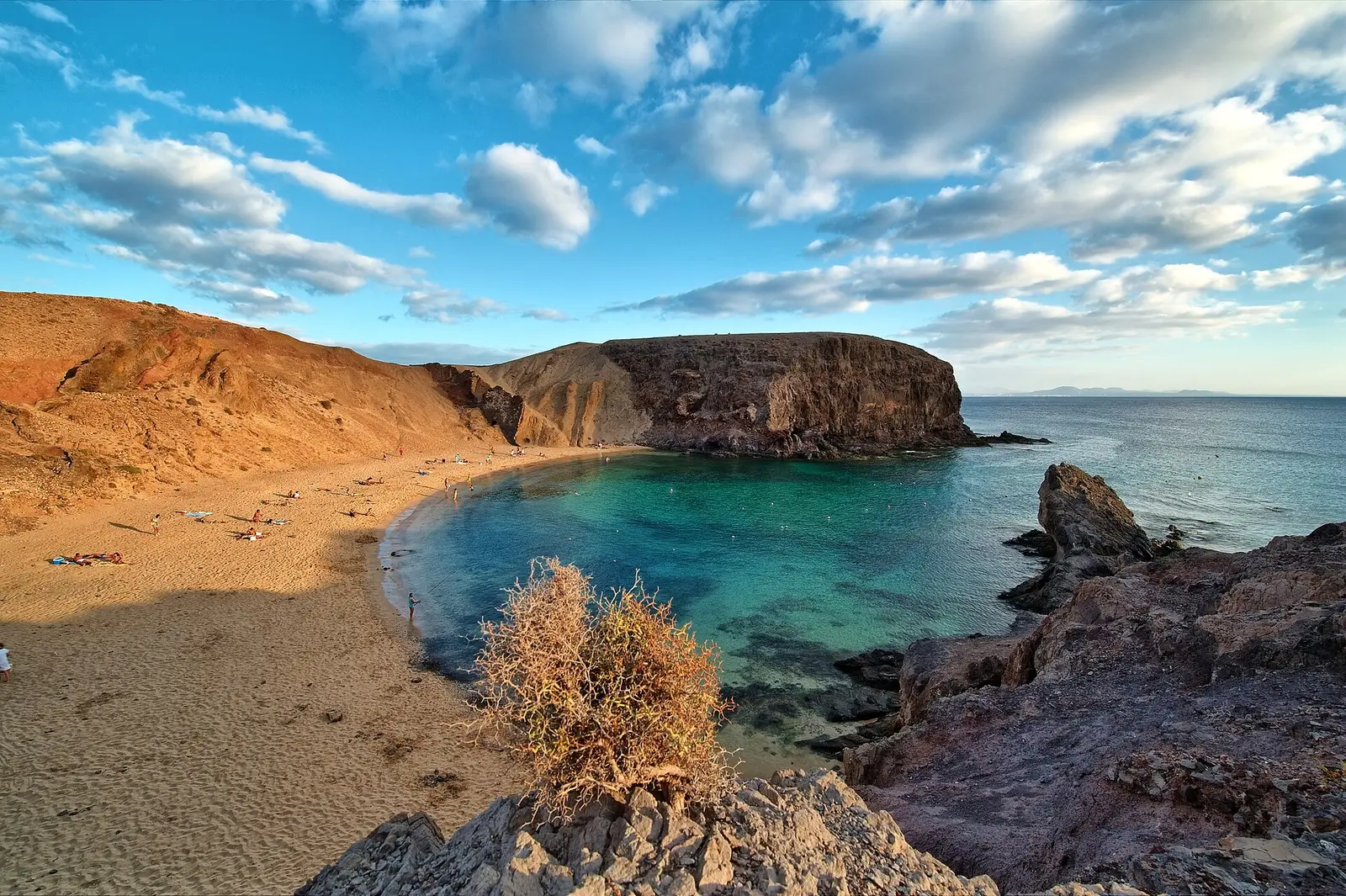
Papagayo beaches provide a beach-focused addition to a Lanzarote trip.
Beach time at Papagayo needs a different sort of planning from a cave or cultural centre visit. Check the current approach, available facilities and sea conditions before setting out, and carry what is needed rather than relying on unconfirmed services. For broader resort context, Playa Blanca is Lanzarote's southernmost town and belongs to the municipality of Yaiza. A beach-focused day can balance an itinerary otherwise built around Timanfaya National Park, Jameos del Agua and the island's viewpoints. Keep swimming decisions separate from sightseeing plans, using local advice and conditions on arrival.
Where to base yourself
Towns and resorts
The three main resorts sit on different coasts and feel different. The inland villages are where the island looks like itself.
Island capital
Arrecife
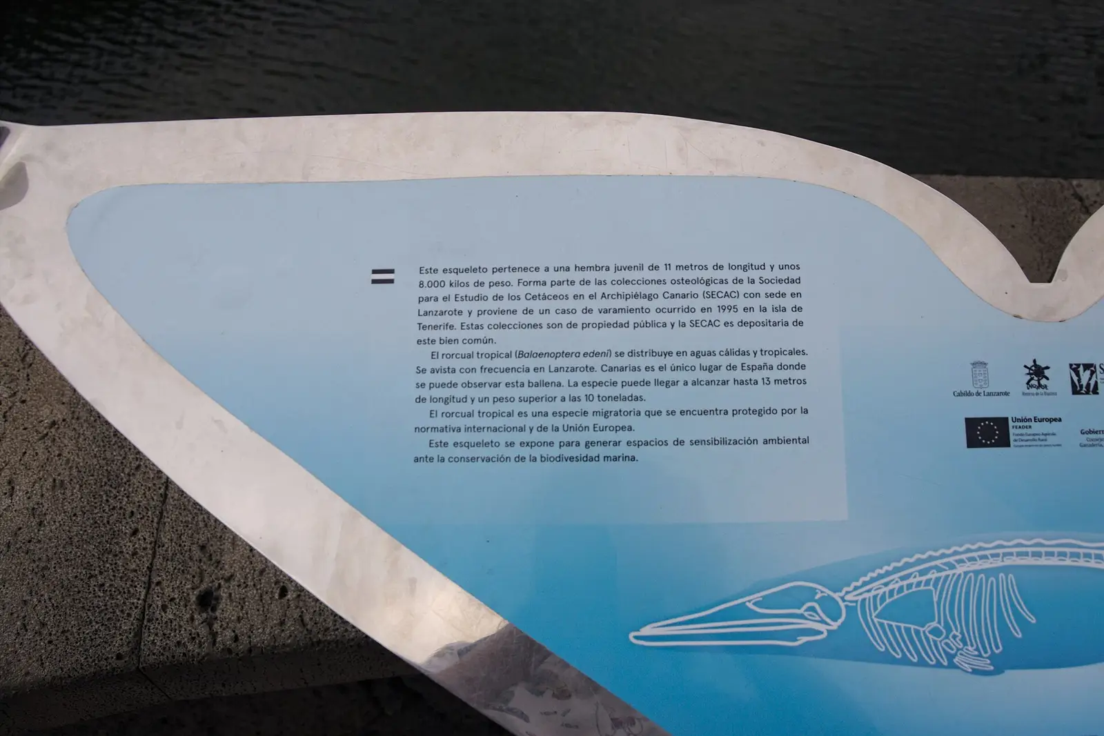
Arrecife is Lanzarote's capital, named after the reef along its local beach.
Capital since 1852, Arrecife offers a city setting rather than the resort identity of Puerto del Carmen or Playa Blanca. Its name comes from the rock reef covering the local beach, tying the city to its shoreline. In 2025, the city population was 52,079, distinct from the wider municipality's 70,265. For trip planning, think of Arrecife as the island's urban counterpoint to its tourist towns, not simply another coastal resort. The nearby Arrecife Airport shares its name, but the airport and city are separate places.
Beach resort
Puerto del Carmen
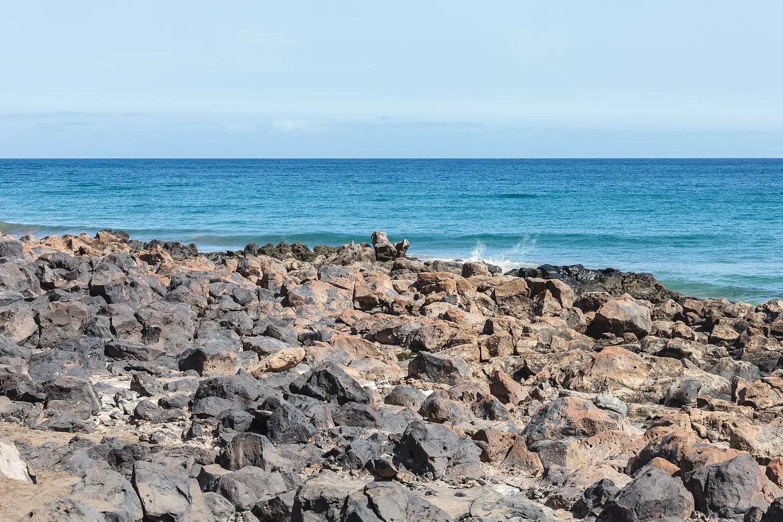
Puerto del Carmen is Lanzarote's main tourist town, with an economy centred on visitors.
Tourism shapes Puerto del Carmen more thoroughly than any other role: almost all of its economy revolves around visitors. It is Lanzarote's main tourist town, and most of the island's over 1 million annual visitors choose it as their destination. That makes it a logical starting point when considering a resort-based holiday, rather than a stay in the capital or a village. Administratively, it belongs to Tías. The useful distinction is its established visitor focus; its status alone does not tell you how any particular part of town will feel.
Beach resort
Playa Blanca
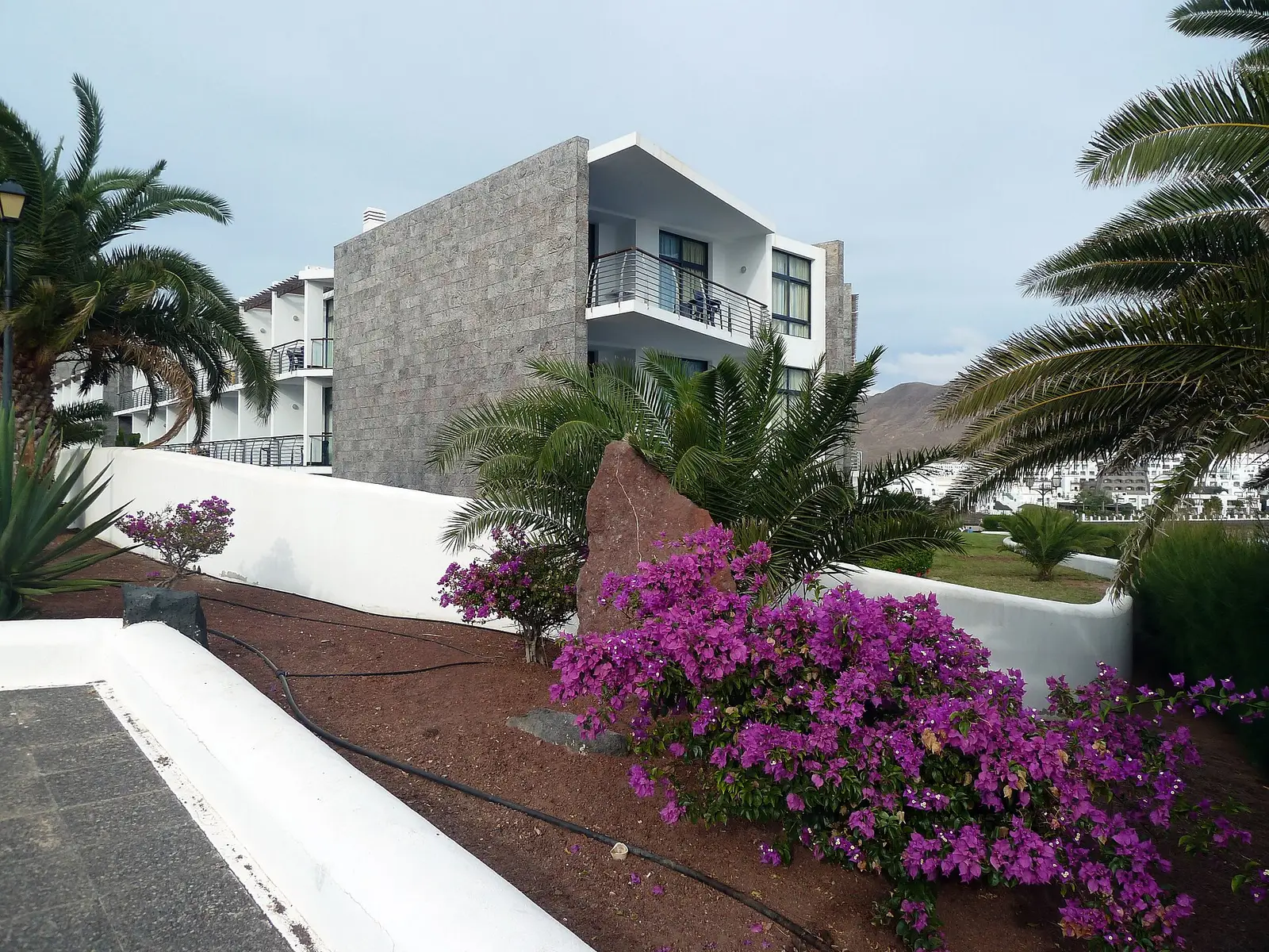
Playa Blanca is Lanzarote's southernmost town and newest resort.
At the southern end of Lanzarote, Playa Blanca combines a resort role with a resident population of 14,276 in 2025. It belongs to the municipality of Yaiza and is much larger than the small town that gives that municipality its name. This distinction matters when choosing a base: a stay in Playa Blanca is not a stay in Yaiza town. August is its hottest month, while the average yearly daytime high is 21.6 C, with 7 months above 20 C. Those averages provide a broad seasonal guide, not a forecast for individual days.
Beach resort
Costa Teguise
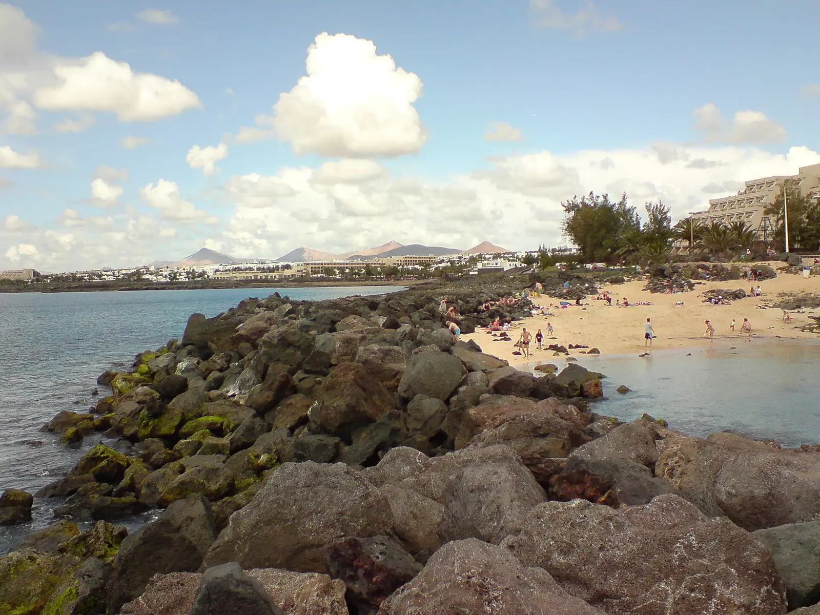
Costa Teguise is a coastal resort planned specifically for tourism.
Planning came before construction in Costa Teguise: its streets were laid out, built and serviced before the town itself took shape. That deliberate origin distinguishes it from a town whose visitor trade developed around an existing settlement. It sits on the coast within the municipality of Teguise, so the resort name and the municipal name are not interchangeable when choosing where to stay. August is the hottest month. The average yearly daytime high is 21.2 C, with 7 months above 20 C, useful context when weighing up travel dates.
Inland village
Haría
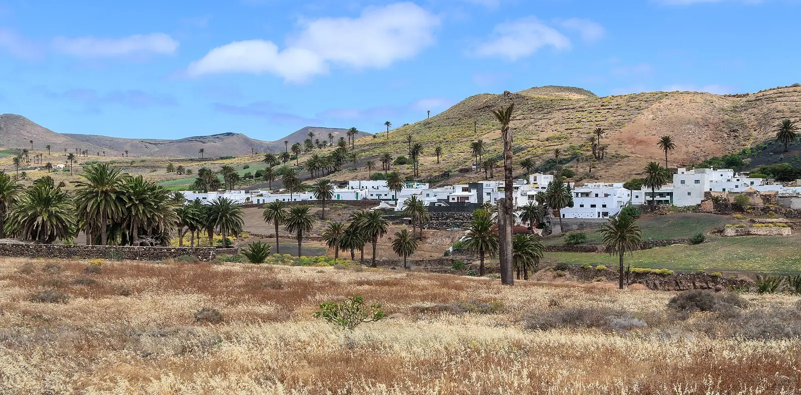
Haría is the town at the centre of Lanzarote's northernmost municipality.
Understanding Haría means separating the town from the much wider municipality it serves. The municipality covers 106.59 square kilometres and had 4,872 residents in 2013; neither figure describes the village alone. It is the northernmost and easternmost municipality in the Canary Islands, surrounded by the Atlantic Ocean on three sides and bordering Teguise to the south. For a towns itinerary, Haría is the settlement to focus on, rather than treating the whole surrounding coastline as part of the village. Its municipal geography gives useful context for exploring northern Lanzarote.
Inland village
Yaiza
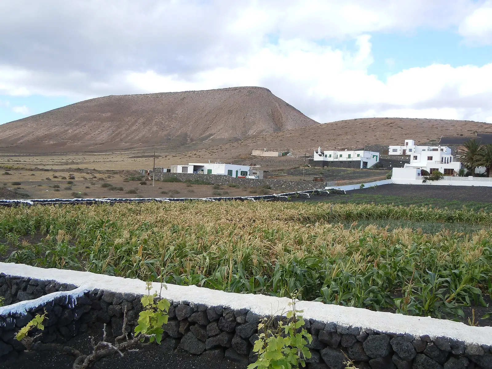
Yaiza is a small southwestern town sharing its name with a larger municipality.
Small in scale, Yaiza town had a population of 857 in 2012. It lies in southwestern Lanzarote and gives its name to a municipality that also includes Playa Blanca. The contrast is useful when planning: Playa Blanca is the municipality's largest settlement and a resort, while Yaiza is the smaller town carrying the administrative name. A reference to accommodation in the municipality therefore need not mean accommodation in the town itself. On a towns-focused trip, Yaiza represents the small-town side of the southwest rather than its main resort settlement.
Inland village
Tinajo
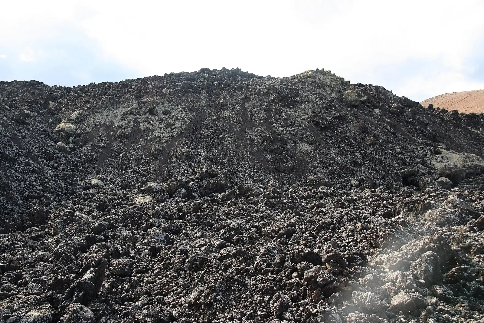
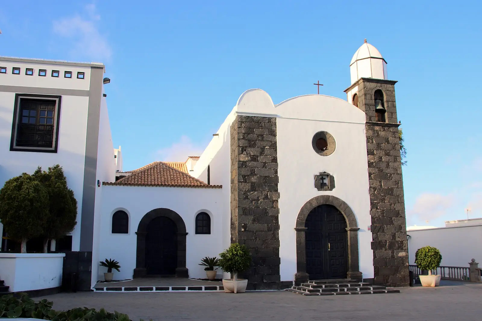
Tinajo is the main town of a municipality on Lanzarote's northwestern coast.
West of the island's centre, Tinajo is both a town name and the name of a wider municipality. The municipality occupies part of Lanzarote's northwestern coast and lies northwest of Arrecife. Its population of 6119 in 2018 and area of 135.28 square kilometres refer to that wider territory, not just the main town. For an itinerary, Tinajo provides a town stop in the western part of the island. When assessing a location described as Tinajo, the key practical question is whether it means the settlement or somewhere within the municipality.
Inland village
San Bartolomé
San Bartolomé is a central Lanzarote town whose municipality reaches the southeastern coast.
Central Lanzarote is the setting for San Bartolomé town, making its location the clearest reason to include it in an island-wide towns itinerary. The municipality stretches beyond the town to the southeastern coast, so a coastal address within San Bartolomé does not place you in the central settlement. That distinction is especially useful when comparing places to stay or deciding where a planned visit actually leads. Consider the town for the central part of a trip, rather than assuming that its municipality's coastal reach makes the town itself a seaside destination.
When to go
The best time to visit Lanzarote
August is the hottest month, with an average daytime high of 24.7°C and nights at 21.5°C. September is almost as warm by day at 24.6°C and has the warmest sea in the monthly figures, at 22.9°C. October retains a sea temperature of 22.6°C, though sunshine falls to 6.3 hours a day and there are 2 rainy days on average. July has the most daily sunshine at 8.9 hours. May through September each record 0 rainy days on average, rather than a guarantee of dry weather. January is the coolest month, with days at 18.4°C and nights at 15.7°C. December is the wettest, averaging 4 rainy days. Annual rainfall is 88 mm, so the overall pattern is dry, with modest seasonal temperature changes.
| Month | Day | Night | Sea | Sun/day | Rain mm | Rainy days | Days 25°C+ |
|---|---|---|---|---|---|---|---|
| January | 18.4°C | 15.7°C | 18.8°C | 5.6 | 12 | 3 | 0% |
| February | 18.5°C | 15.5°C | 18.1°C | 6.1 | 14 | 3 | 1% |
| March | 19.1°C | 15.9°C | 18.1°C | 6.8 | 10 | 2 | 2% |
| April | 19.8°C | 16.6°C | 18.6°C | 6.8 | 5 | 1 | 1% |
| May | 20.9°C | 17.7°C | 19.5°C | 7.3 | 1 | 0 | 3% |
| June | 22.4°C | 19.3°C | 20.6°C | 7.8 | 0 | 0 | 6% |
| Julybest | 23.7°C | 20.5°C | 21.5°C | 8.9 | 0 | 0 | 13% |
| Augustbest | 24.7°C | 21.5°C | 22.3°C | 8.6 | 0 | 0 | 25% |
| Septemberbest | 24.6°C | 21.5°C | 22.9°C | 7.7 | 3 | 1 | 26% |
| October | 23.4°C | 20.5°C | 22.6°C | 6.3 | 12 | 2 | 11% |
| November | 21.3°C | 18.6°C | 21.4°C | 5.4 | 12 | 2 | 3% |
| December | 19.6°C | 16.9°C | 19.9°C | 5.5 | 19 | 4 | 0% |
Day = average daytime high, night = average night-time low, 1991-2020.Thirty-year averages, not a forecast. Sea temperature is the monthly mean at the surface.
Getting around
Roads connect Arrecife, Puerto del Carmen, Playa Blanca, Costa Teguise, Haría, Yaiza, Tinajo and San Bartolomé, giving a road-based itinerary a practical framework. The island has an airport near the capital, while a ferry connects northern Lanzarote with La Graciosa. That crossing is a separate part of planning from journeys between towns. Geography can help organise sightseeing: Timanfaya National Park lies in the southwest around parts of Tinajo and Yaiza, while Jameos del Agua and Cueva de los Verdes are in Haría in the north. Transfer arrangements, journey times and ferry schedules need checking before fixing a detailed itinerary.
Before you book
Lanzarote: questions people ask
How warm is Lanzarote in winter?
January averages 18.4°C by day and 15.7°C at night, with 5.6 hours of sunshine daily. December is warmer by day at 19.6°C but is the wettest month, averaging 4 rainy days. February’s sea temperature averages 18.1°C, so winter air temperatures should not be confused with warm swimming conditions.
Can La Graciosa be included in a Lanzarote trip?
A ferry links the north of Lanzarote with La Graciosa, making it an option alongside visits on the main island. Planning needs to account for the crossing rather than just a road journey. The sailing schedule and arrangements for reaching the departure point should be checked before committing to a particular day.
What is the difference between Jameos del Agua and Cueva de los Verdes?
Both are in the municipality of Haría and have volcanic origins, but their focus differs. Jameos del Agua is a series of lava caves developed by César Manrique as an art, culture and tourism centre. Cueva de los Verdes is a lava tube within the protected Monumento Natural del Malpaís de La Corona.
How do I get around Lanzarote?
Roads connect the listed towns and resorts, so road travel provides the main framework for visiting different parts of Lanzarote. The airport is near the capital. La Graciosa requires a ferry from the north of the island, so that visit needs separate crossing arrangements rather than just a journey by road.
Which month has the warmest sea?
September has the warmest average sea temperature in the monthly figures, at 22.9°C, followed by October at 22.6°C. August averages 22.3°C. September also has an average daytime high of 24.6°C and 7.7 hours of sunshine a day, with 0 rainy days on average.
Photo credits
Photographs from Wikimedia Commons, reused under their licences: hero by Luis Miguel Bugallo Sánchez (Lmbuga) (CC BY-SA 3.0); timanfaya by Luis Miguel Bugallo Sánchez (Lmbuga) (CC BY-SA 3.0); jameos del agua by Photograph by Mike Peel (www.mikepeel.net). (CC BY-SA 4.0); cueva de los verdes by Aneta p (CC BY 4.0); mirador del rio by H. Zell (CC BY-SA 3.0); jardin de cactus by Luis Miguel Bugallo Sánchez (Lmbuga) (CC BY-SA 3.0); la geria by Luis Miguel Bugallo Sánchez (CC BY-SA 3.0); el golfo by Luis Miguel Bugallo Sánchez (Lmbuga) (CC BY-SA 3.0); la graciosa by Andrés Nieto Porras (CC BY-SA 2.0); teguise village by Oliver Gargan (CC BY-SA 4.0); cesar manrique by Photograph by Mike Peel (www.mikepeel.net). (CC BY-SA 4.0); famara by GerritR (CC BY-SA 4.0); papagayo by Lviatour (CC BY-SA 3.0); arrecife by Santamarcanda (CC BY-SA 4.0); puerto del carmen by Luis Miguel Bugallo Sánchez (Lmbuga) (CC BY-SA 3.0); playa blanca by giggel (CC BY 3.0); costa teguise by Romazur (Public domain); haria by H. Zell (CC BY-SA 3.0); yaiza by Patrice78500 (CC BY-SA 4.0); tinajo by GerritR (CC BY-SA 4.0); san bartolome by Discasto (CC BY-SA 4.0).


_02.jpg)